
Leelanau Land Exchange Connects Woolsey Airport and Mud Lake |
DNR’s latest transaction update confirms a runway-area transfer and added public waterfront land |
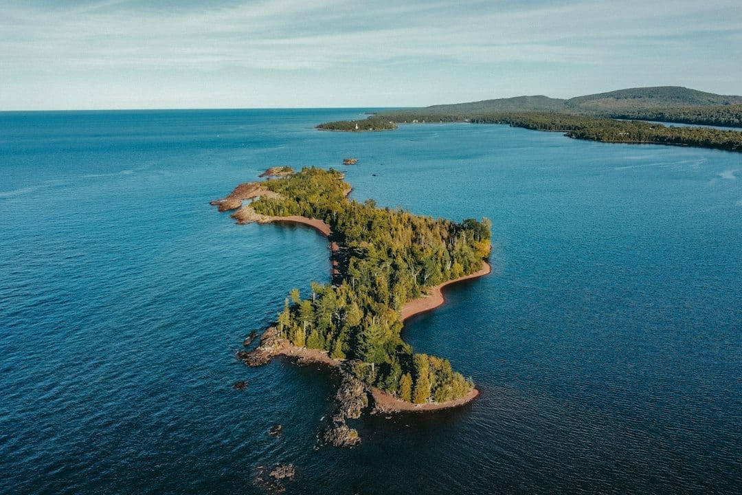
Illustrative stock photo; not Mud Lake or the exchanged parcels. Photo by Hans on Unsplash.
A land exchange involving Woolsey Airport and Mud Lake has moved into the state’s account of completed transactions.
The Michigan Department of Natural Resources lists the deal in its third-quarter 2026 land highlights.
Leelanau Township received 15.32 acres near the airport runway in exchange for 14.41 acres along Mud Lake.
The DNR says the exchange consolidates runway-area ownership and adds public water access on land to be managed as part of Leelanau State Park.
Two parcels with different purposes
The state’s transaction memorandum identifies the case as 20240139.
It describes the land sought by the township as generally wooded except for the runway extension.
The land offered to the state lies between North Densmore Road and the shore of Mud Lake, also identified in the document as Woolsey Lake.
That location explains why the exchange has both an airport-management purpose and a recreation component.
The parcels are not interchangeable pieces of open space; their relationship to existing facilities is central to the transaction.
What changed in the public record
The township’s airport information page still describes the swap in preliminary terms.
The DNR’s newer quarterly account describes it as an exchange that occurred.
Readers following the story should use that newer state update for the transaction’s status while treating the township page as background.
The state says the exchange was offered to resolve a trespass on DNR-managed land.
Here that description concerns land ownership and use around the runway, rather than an accusation against airport visitors.
Recreation access is part of the result
The DNR identifies the Mud Lake parcel as an addition to public access for water-based recreation.
That does not establish a new developed boat launch, parking lot or other facility opening in this announcement.
Anyone planning a visit should check current park information and the parcel map before choosing an access point.
The transaction map is linked with the state’s description.
Use it to understand where the land sits rather than assuming every nearby shoreline or approach is publicly accessible.
Questions about practical access can go to the relevant park or township contact.
A separate story at the terminal
The township also describes an effort to preserve the historic Woolsey Airport terminal through its Save Woolsey Airport Terminal project.
Its background account says the stone building began as a creamery in 1874.
That preservation effort is connected to the same place but is a different undertaking from the land transfer.
Completion of an exchange should not be read as an announcement that terminal restoration is finished.
For residents interested in the airport’s future, the two tracks are worth following separately: ownership around the runway and care of the historic building.
Why the distinction matters locally
The exchange connects a practical airport boundary issue with the state’s management of waterfront recreation land.
Its significance is about the location and function of the parcels, not simply which side received a larger acreage.
Residents can review the DNR summary alongside the case memorandum for the clearest account of that relationship.
Use current agency information for a planned visit and the township’s resources for questions about the airport or terminal project.
For CherryBuzz readers, the new development is a confirmed land exchange in the DNR’s quarterly highlights.
The next practical question is how people use the publicly managed lake parcel under the park’s current access arrangements.
Sources checked October 20, 2026 |
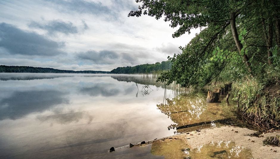 Illustrative stock photo; not Mud Lake or the exchanged parcels. Photo by Gundula Vogel on Pexels. |




5 Comments
Join the conversation
but where would people park?
The DNR’s announcement doesn’t identify a new parking area or developed access point. Before visiting, check current Leelanau State Park information and the parcel map for where access is permitted.
Dave ThompsonGood question. I haven't seen any parking announced, so I'd check with the park before heading over.
nice to see Mud Lake access added
Maria G.Agreed. I hope the park posts a clear map so people know which part of the shore is public.