
Brown Bridge Quiet Area: A Fall Walk Beyond Traverse City |
Plan a self-guided Boardman River outing with trail maps, leashed-dog rules and realistic expectations for October conditions |
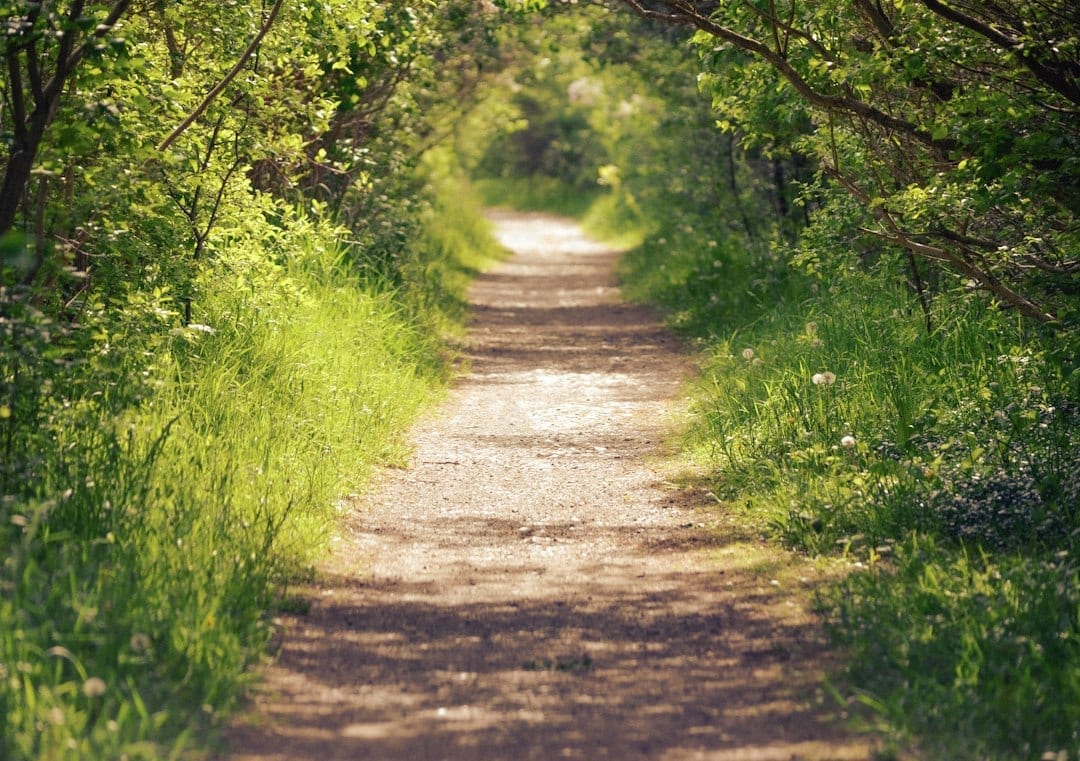
Photo by Megan Lee on Unsplash. Illustrative stock image; not a photograph of the reported location or event. |
For Cherry Buzz readers looking for an October outing without a festival schedule, Brown Bridge Quiet Area offers a self-guided way to spend time beside the Boardman River.
The city-owned property lies about 11 miles southeast of Traverse City, making it an option to consider when you want a walk beyond the downtown waterfront.
This is a seasonal outing idea, not an announcement of a new guided event, and there is no promised peak-color date attached to it.
Choose a day that suits your group, review the map and let current conditions determine how much ground you cover.
Understand the place before choosing a route
The city describes roughly 1,300 acres of protected open space and lists six miles of trails, with scenic lookout areas available to visitors.
That total describes the trail system, not a single required loop that everyone must complete.
Use the official map to pick a route that matches your available time and the walking abilities of everyone coming along.
A shorter out-and-back can be a sensible choice if your group wants frequent photo stops or is unsure how much walking it wants to do.
The Boardman River runs through the property, where Brown Bridge Pond once occupied the landscape.
Removal of Brown Bridge Dam in 2012 eliminated that pond and allowed the river to return to its historic channel.
That history gives a walk here another point of interest beyond the season’s changing leaves.
Bring expectations that fit a natural trail
The city identifies these trails for hiking, snowshoeing and cross-country skiing as seasons and conditions allow.
Treat this October visit as a walking outing and check posted rules before bringing other recreational equipment.
Choose footwear suited to a trail, carry water and allow time to return before daylight fades.
These are planning suggestions rather than a report that every route currently has mud, slippery leaves or a particular surface condition.
Current trail conditions and foliage are not confirmed, so check for notices before departure and be prepared to shorten the walk.
Bring a downloaded map or a paper copy so the route does not depend entirely on finding a mobile signal.
If anyone needs a step-free or especially easy route, ask the managing organization for specific guidance before choosing a trail.
Dogs and other visitors share the space
Leashed dogs are allowed, according to the city’s preserve listing.
Pack the leash and waste bags before leaving home, and choose a route your dog can comfortably complete with the rest of the group.
The city also identifies a limited-permit hunting area at the easterly end of the property.
Review the preserve map and current rules so you understand that designated area before deciding where to walk.
Do not interpret its presence as permission to hunt throughout the preserve or as proof that hunting is occurring during your visit.
Make the outing your own
For a family walk, invite everyone to look for differences in leaves, river views and the shapes of trees rather than promising wildlife sightings.
Although the city lists many species associated with the property, a visitor should not expect a particular animal to appear on demand.
Photographers can plan a few stopping points while keeping the route and return time manageable.
Friends seeking conversation might prefer a shorter walk with pauses instead of trying to complete every trail.
Before heading out, share the chosen route, check the latest preserve information and agree on a turnaround time.
Brown Bridge can then become a practical fall outing built around the group’s pace, with the river and landscape providing the reason to explore. |
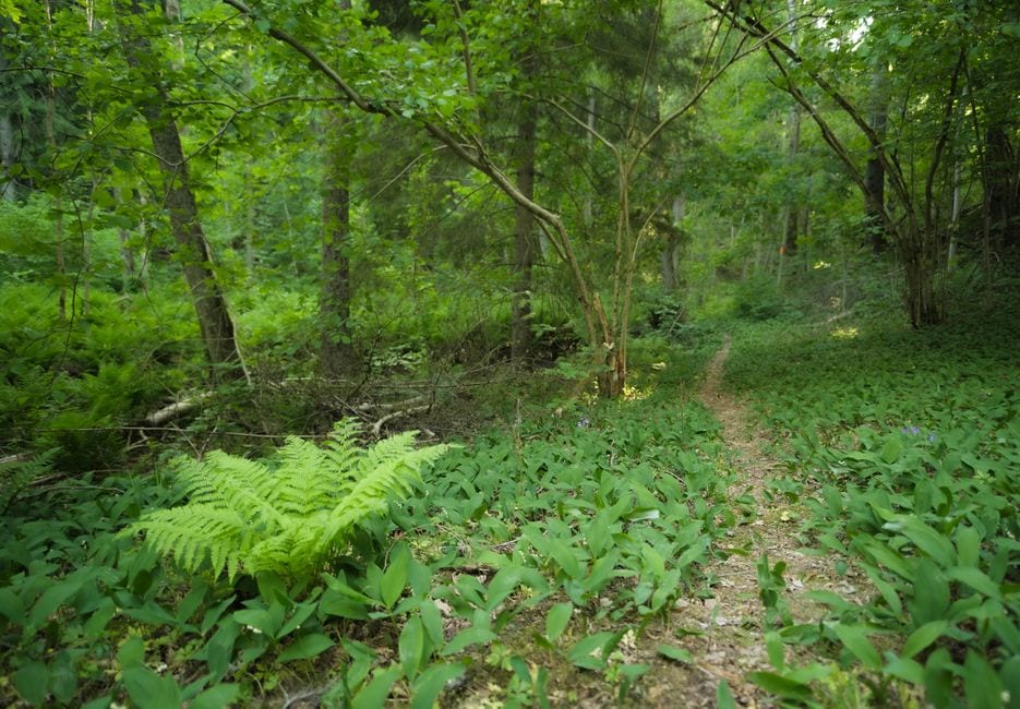 Photo by Ludvig Hedenborg on Pexels. Illustrative stock image; not a photograph of the reported location or event. |
Verified October 8, 2026 City preserve guide and map · Grand Traverse Conservation District · City recreation directory |



12 Comments
Join the conversation
any photo of the actual place?
We don’t have a photo of the actual location in this article. The image is illustrative stock photography.
Tom R.I don't see one with the article. Hopefully they can add a photo of the place later.
would rather see a photo of the actual place
Rob EllisSame here. A photo of the actual place would help put the story in context.
We understand, an image of the actual location would be more useful. We’ve labeled this one as illustrative so there’s no confusion.
glad they said the photo is just a stock image
Thank you. We think it’s important to make clear when an image is illustrative rather than from the reported location or event.
Jenna M.I almost missed the caption, so I'm glad they made that clear.
glad they labeled the stock photo
Thanks for noticing. We want to be clear when an image doesn’t show the place or event being reported.
Nina P.Same here. I almost thought it was the actual location until I read the caption.